Drone Data Command puts your media library, flight logs, telemetry, orthomosaic maps and 3D models in a single console — hosted by us, or running on your own hardware behind your firewall.
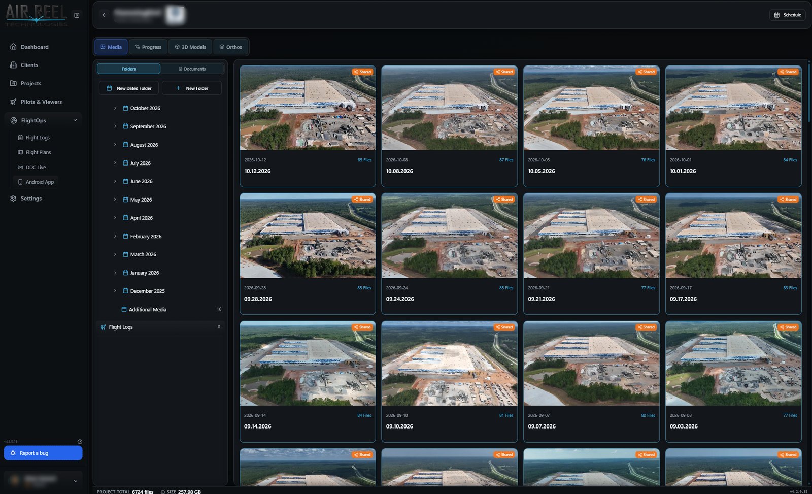
Media, flights, maps and clients share the same shell — nothing to stitch together.
Every one of these ships in the product today — verified against the app, not the brochure.
Four stages, lit in sequence as you move down the page.
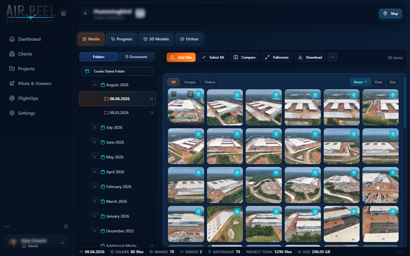
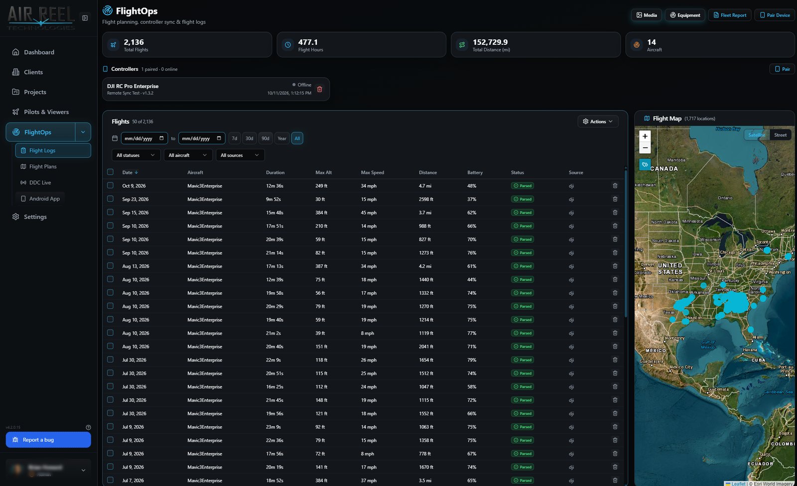
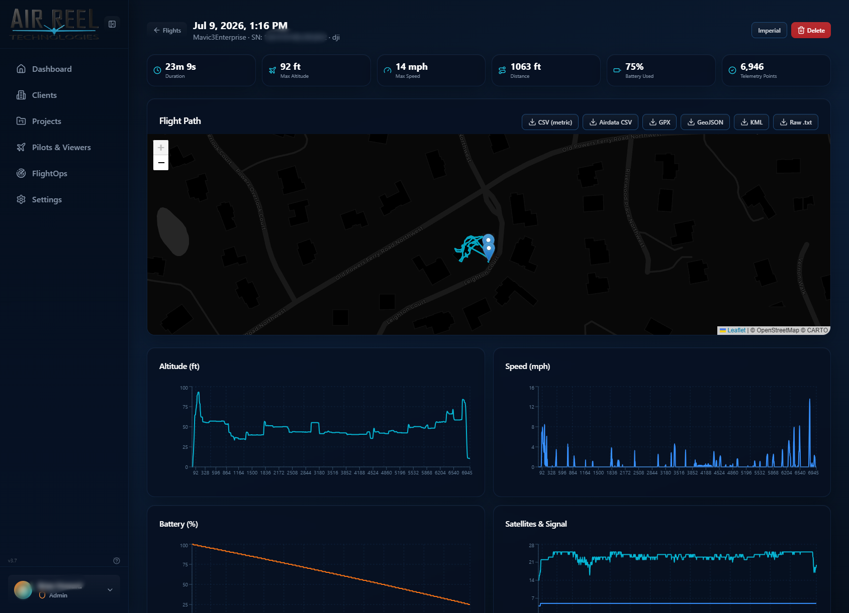
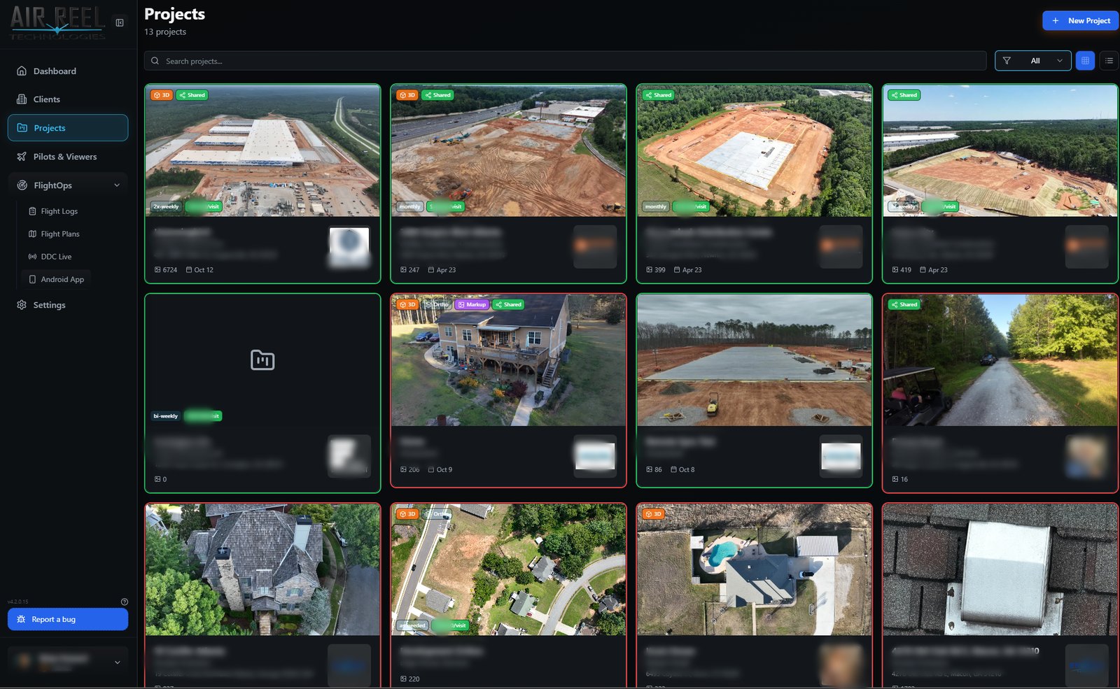
Managed hosting with storage included — or the Full edition on your own hardware.
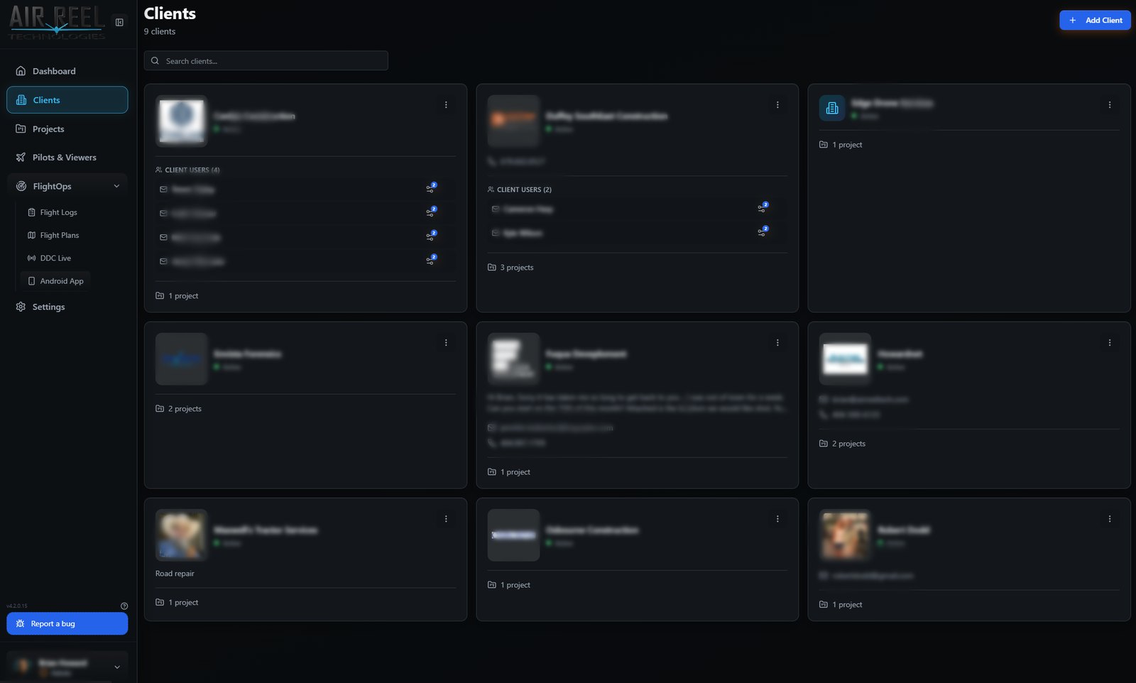
Core Vault is your private, project-based home for drone data. Work is organised by client, site and phase, so every flight, photo, video, map, model and document lives under the job it belongs to instead of in loose folders. Uploads are checksum-verified as they arrive, access is controlled by role (admin, pilot, client, viewer), and sign-in supports passkey / biometric login on mobile. Everything else in the plan builds on this layer.
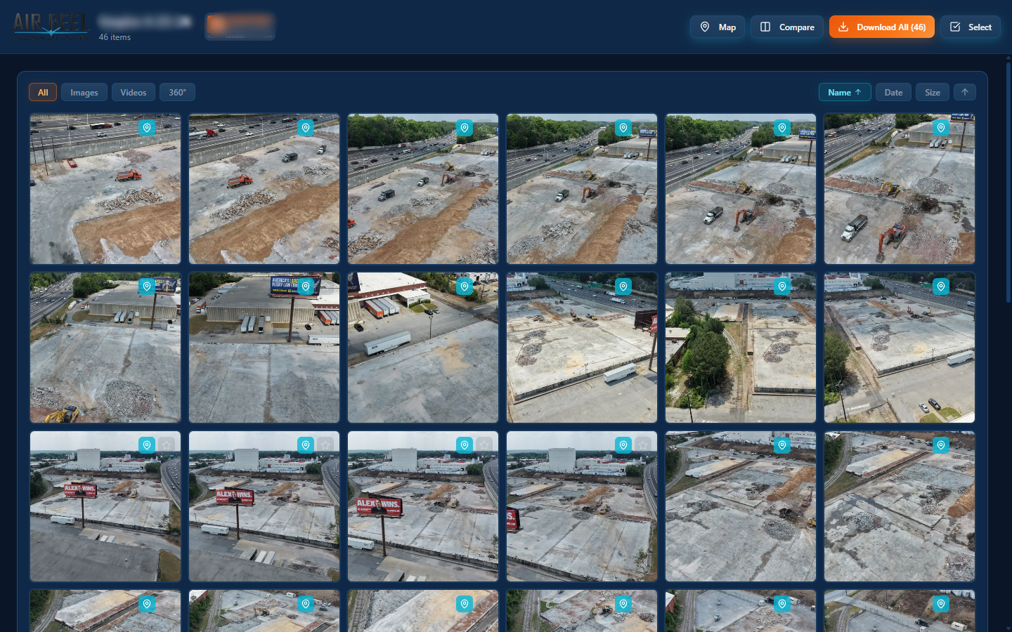
The Media Library is built for high-volume capture. Photos and video are ingested in bulk with smart multi-resolution thumbnails, dated folder trees, filters and instant preview. EXIF metadata and GPS coordinates are pulled out on upload, so every asset is searchable and can be shown on a map. You can mark up and compare frames, handle 360° panoramas, and package whole shoots into ZIP downloads for hand-off. Your originals are never renamed or re-sorted.
Public Sharing lets you send a client or contractor a link to a project or folder without creating an account for them. Links can be set to expire and revoked at any time, can carry optional watermarks, can allow or block downloads, and record views so you can see when something was opened. It is delivery without losing control of your originals.
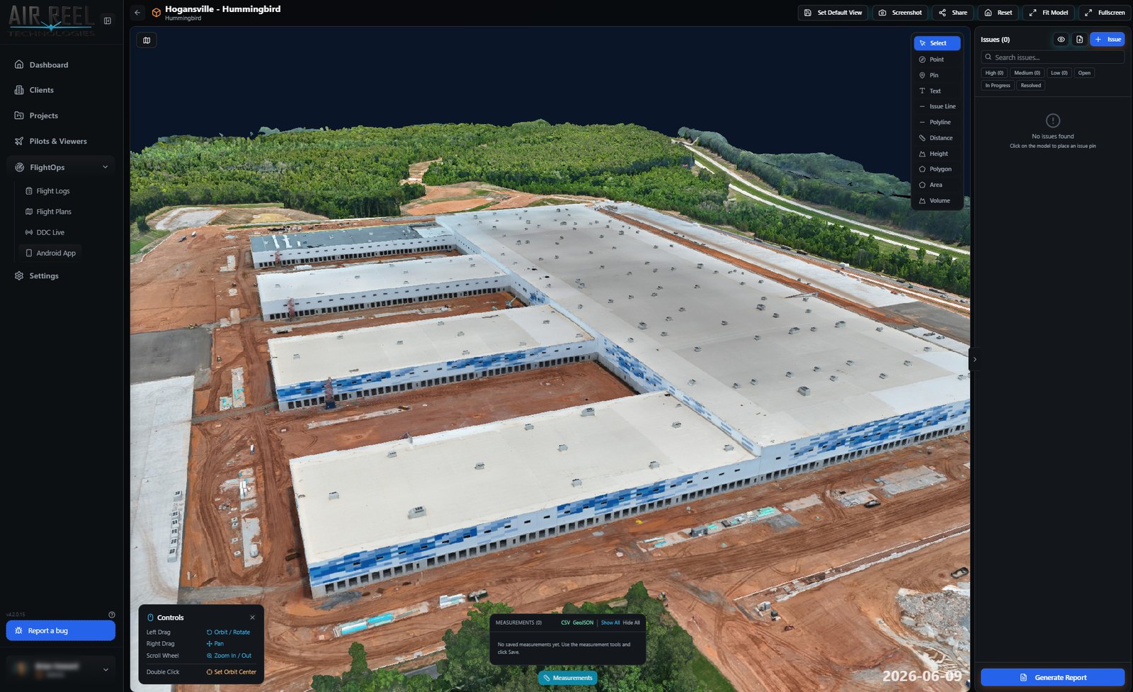
Open a textured 3D model of your site in the browser with nothing to install. Orbit and zoom around it, then use the toolbar to drop points and pins, draw lines, and measure distance, height, polygon area and volume. Flag problems as issues with a priority and category, set a default view, take screenshots, share the model, and export your measurements to CSV or GeoJSON or generate a report. Models stay inside your vault.
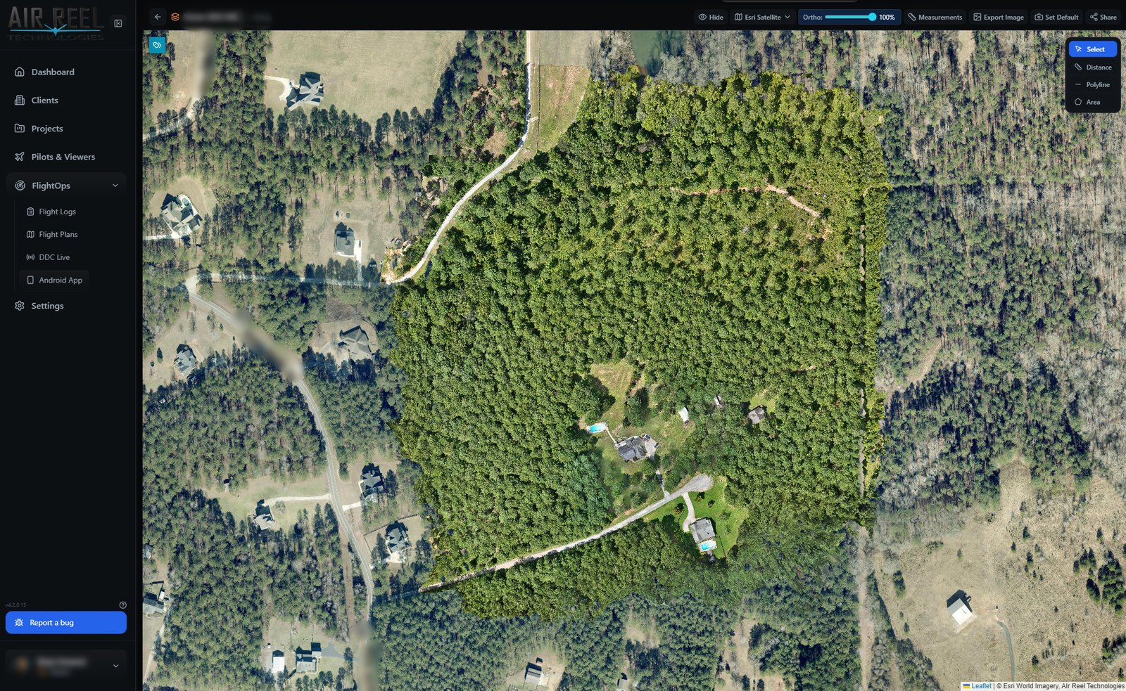
Orthomosaics are your stitched, top-down survey images, displayed as tiled maps over a satellite basemap. Fade the ortho layer in and out with the opacity slider to see exactly what changed against the basemap, measure distance, polylines and area directly on the map, export an image, and save a default view for your client. Clients can open the map in a browser, so they do not need a GIS seat.
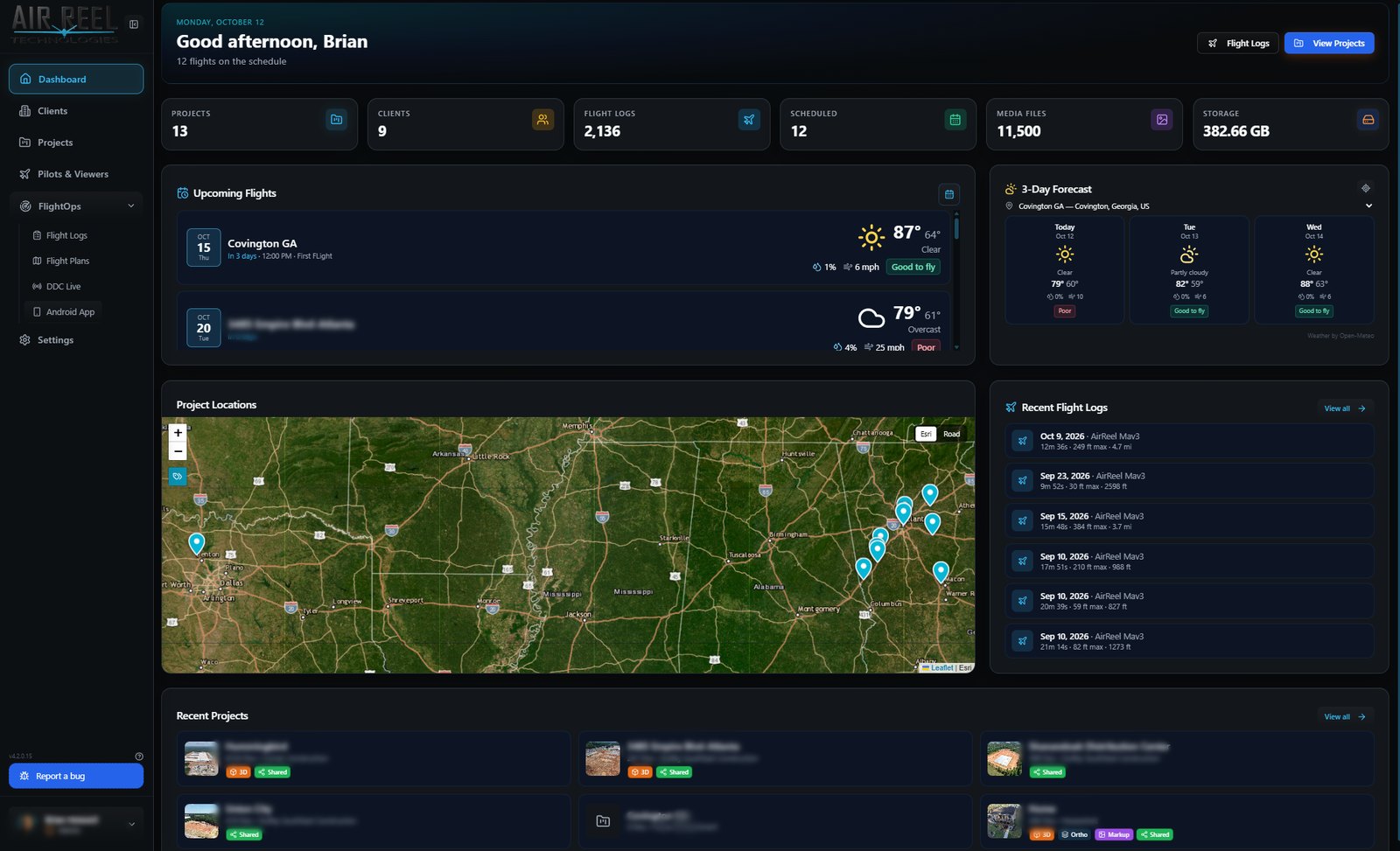
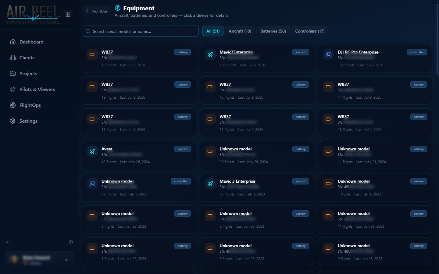
FlightOps is the flight-record side of the platform. Import DJI flight logs, review every sortie on a map of takeoff locations, and open any flight for its path and altitude, speed and battery charts. Aircraft and batteries are tracked in an equipment registry, and an equipment keychain lets encrypted DJI logs decrypt against the right serial numbers. Media is automatically matched to the flight and pilot that captured it by comparing capture time to telemetry. The flight planning editor and Android companion app sit alongside it.
Pilots & Viewers adds multi-user access with roles. Invite crew and clients by email; pilots work in the field, viewers can look but not change anything, and client users only ever see the projects assigned to them. An invite workflow with activation links onboards people without you creating passwords for them, so a single workspace can safely serve your whole team and your customers.
Documents adds a document area to every project. File PDFs, Word and Excel files, spreadsheets, CSVs, text, JSON, XML and archives in their own folders, right next to the photos, flights and models they relate to, so inspection reports, estimates and contracts are not scattered across email and shared drives. Drag and drop to upload into the selected folder; photos and videos stay in the Media tab. Everything inherits the project's role-based access.
Vault Live (the DDC Live view) puts a live video stream, a live map, telemetry and event marking on one screen. Pick the project and the paired controller, watch the feed, and press Mark Event to timestamp anything that matters during the flight. Stream resolution, frame rate and bandwidth are shown up front, and a demo-telemetry switch lets you try the view without an aircraft in the air. Useful for remote stakeholders who want to watch a capture in real time.
Progress compares two dated captures of the same waypoint with a drag slider or a side-by-side view. Each side is labelled with its source file and capture time, and the arrow keys nudge the divider for fine control. Because recurring flights land in dated folders, a client can see precisely what was built between two visits without you assembling a before-and-after by hand.
Enter the license owner details here. Payment is completed securely on Stripe.
Start free on hosted storage, or deploy the full console on hardware you own. Either way, the archive is yours.