Project Command
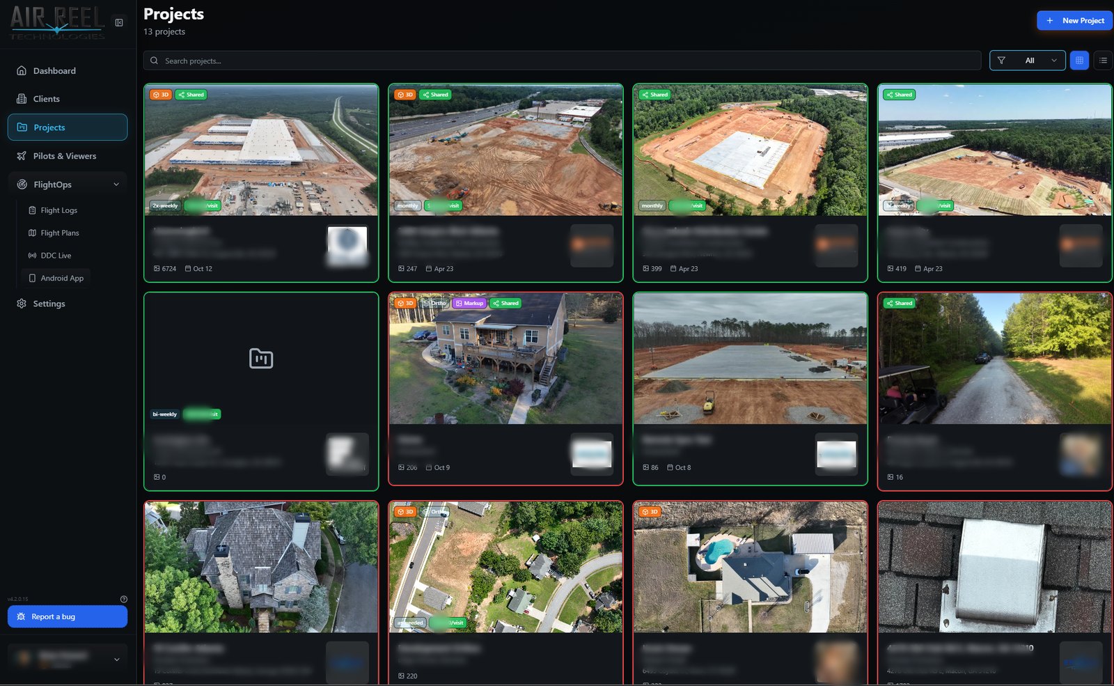
Jobs with clients, pilots, locations and full media trees in one place.
The current app showcase exposes 24 capabilities spanning project command, ingest, media review, spatial products, sharing, access, branding and flight operations.
Jobs with clients, pilots, locations and full media trees in one place.
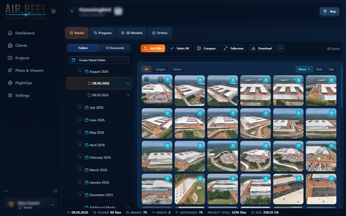
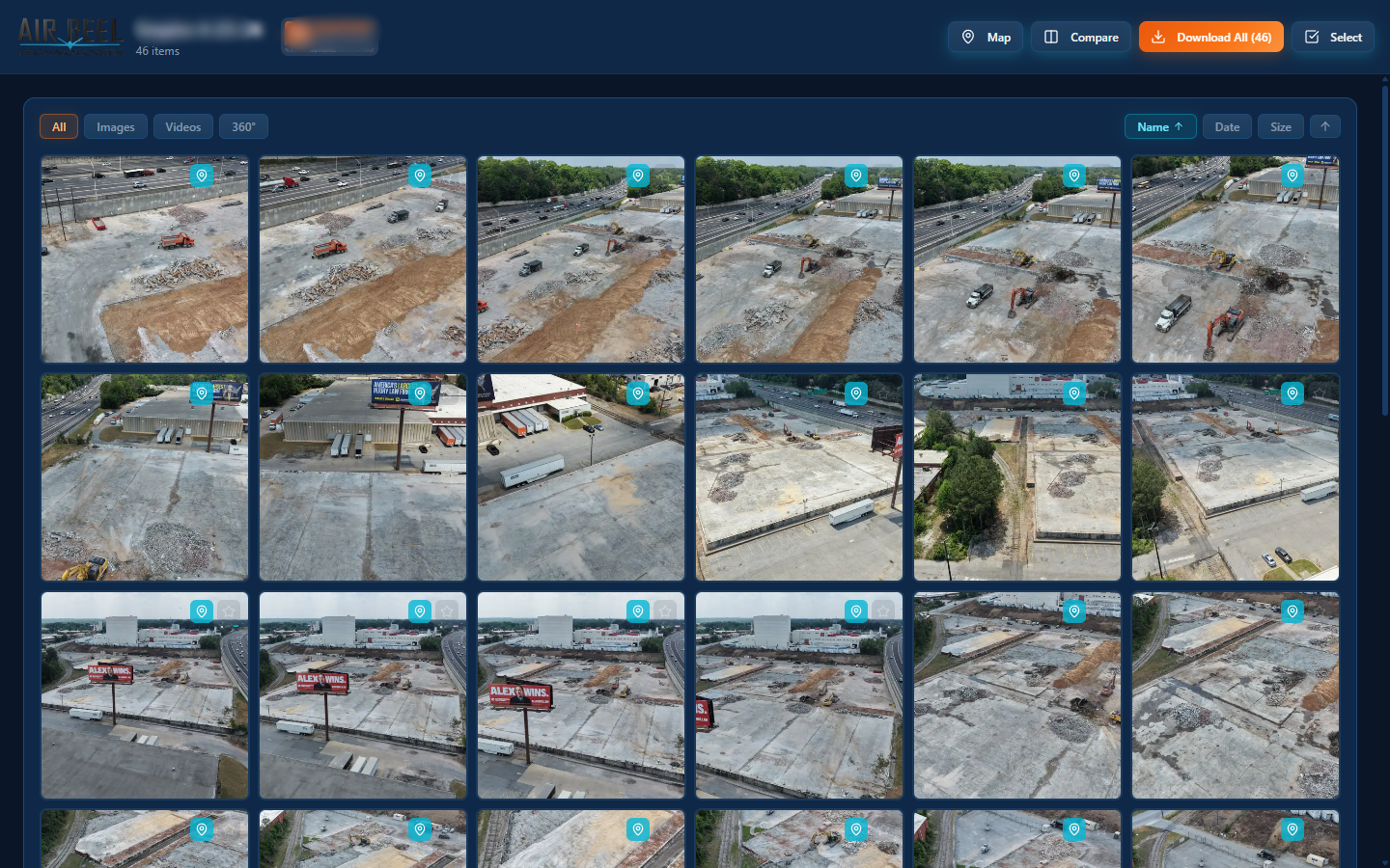
High-volume photo and video with smart thumbnails, folders, filters and instant preview.
Draw on images and compare frames side by side.
EXIF GPS is pulled on upload so media and flights can be browsed on maps.
Capture metadata and coordinates are extracted from media on upload.
Multi-resolution grid and preview images are generated on upload.
Bulk media upload and DJI flight-log import with server-side processing.
Package selections into ZIP archives; large jobs can be split automatically.
Projects, clients, media volume, storage and a project map at a glance.
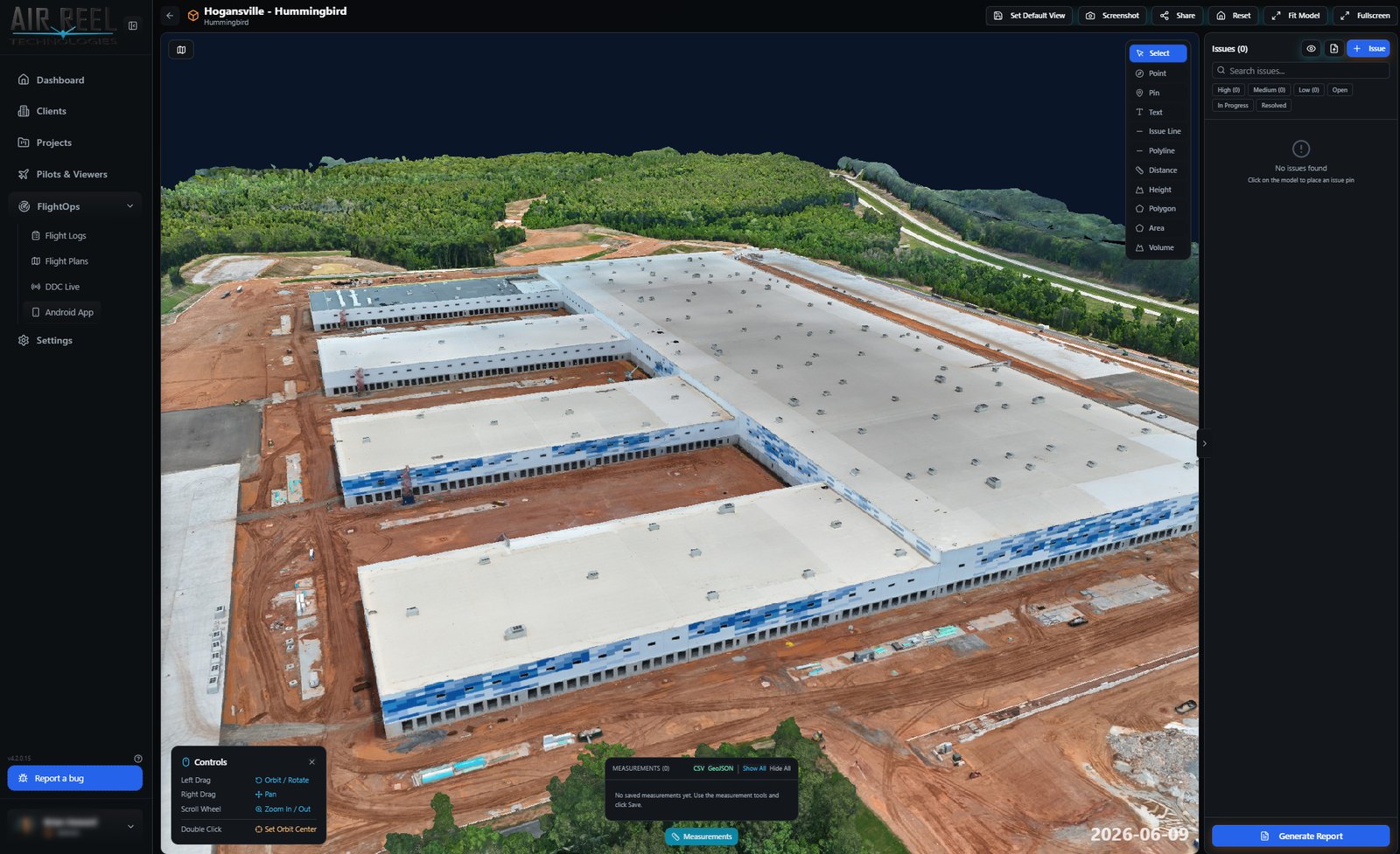
Cesium 3D Tiles models with orbit, annotation and issue flagging.
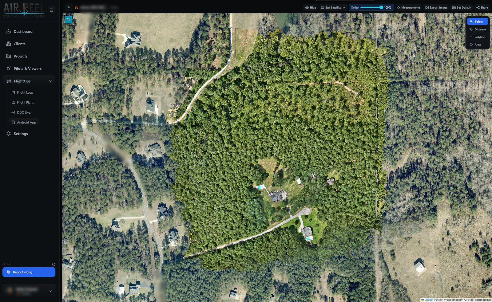
Tiled high-resolution orthos over satellite basemaps with measurement tools.
Immersive panoramic viewing for spherical captures.
Links with expiry, optional watermarks, download controls and view tracking.
Branded access where clients only see their assigned projects.
Admin, Pilot, Client and Viewer roles each see what their role allows.
Logos, colors, watermarks and login branding for your company.
WebAuthn / passkey biometric sign-in for faster access.
Responsive Vault UI for tablets and phones in the field.
Email invites onboard clients and crew with activation links.
Map-centric flight list with filters and detail for imported sorties.
Altitude, speed and battery curves alongside the flight path.
Pair aircraft and batteries so encrypted DJI logs can unlock against the right gear.
Match media to the flight and pilot that captured it.
Aircraft and battery registry tied into FlightOps.